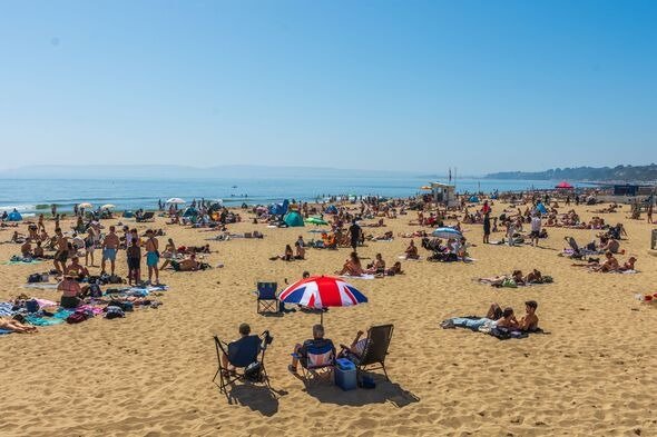
The United Kingdom is bracing for a burst of summer heat just in time for the upcoming bank holiday, with forecasters predicting temperatures could reach 30C on Monday. The warm spell comes as one of the hottest summers on record continues, but it will be short-lived, with unsettled weather and rain arriving from Tuesday as the remnants of Hurricane Erin sweep in from the Atlantic.
This weekend will bring a boost for major outdoor events across the country, including London’s Notting Hill Carnival, the Reading and Leeds music festivals, and Creamfields in Cheshire. Forecasters say conditions will be largely dry and warm, with brighter skies developing and temperatures climbing steadily. Sunday is expected to reach highs of 24C, with Monday marking the peak of the heat before the weather breaks.
The timing of the hot spell coincides with what has already been an exceptional summer. The Met Office said last week that, despite August not yet being over, 2025 is already on track to be among the hottest summers the UK has ever recorded. Four heatwaves have hit the country since June, straining transport, energy, and health services, while prompting repeated warnings about sun safety and water use.
For many, the bank holiday warmth will provide one final opportunity to enjoy outdoor gatherings, festivals, and beach trips before autumn weather sets in. However, travellers may face disruption on some key routes. A strike on the CrossCountry network is expected to cause difficulties for people returning from the Leeds Festival on Sunday, with no services running between major destinations including Birmingham, Reading, and the south coast. On Monday, the strike will continue, cutting off services between Leicester, Cambridge, and Stansted Airport as well. Engineering works will add to the disruption, with no LNER trains running in or out of London King’s Cross across the holiday weekend.
Authorities are also warning those heading for the coast to take precautions. The RNLI has urged beachgoers to stick to lifeguarded locations and to beware of rough seas, which are likely to intensify once Hurricane Erin’s influence is felt. While the heat will dominate on Monday, forecasters say the storm will push moist, tropical air across the UK, creating the conditions for rain and a shift to more unsettled weather by Tuesday.
The remnants of Hurricane Erin, which tracked close to the Caribbean and the US east coast earlier this week, are expected to reach the British Isles after losing much of their strength. Even so, the system will bring widespread rain, cooler air, and blustery conditions. The Met Office said the heaviest showers would fall in western areas, while stronger winds are expected to stay mostly offshore. Temperatures will fall back into the high teens and low 20s for much of the country, with Scotland likely to see peaks no higher than the low 20s.
Despite the change, the bank holiday Monday itself is set to deliver one of the warmest days of the summer. Forecasters expect the highest temperatures in southern and central England, with some parts of Wales also likely to see the mercury climb close to 30C. Scotland and Northern Ireland will remain cooler, though still relatively warm compared to average late-August conditions.
With unsettled weather forecast for the rest of next week, the brief return of intense heat on Monday may mark the last major spike of the summer. For many across the UK, the holiday will be a final chance to enjoy the sun before autumn weather patterns set in, with a mix of celebration, disruption, and safety concerns shaping the long weekend.


