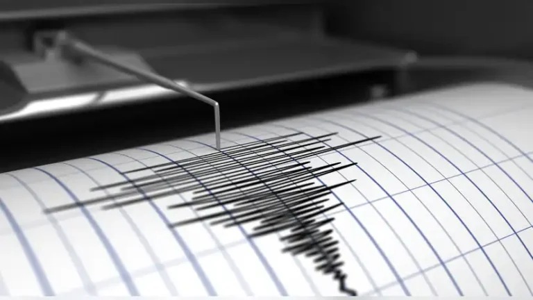
A 4.1 magnitude earthquake shook parts of Myanmar early Thursday, July 3. The quake occurred at 06:10 AM IST and was confirmed by the National Center for Seismology (NCS). It struck at a shallow depth of 10 kilometers, making it more likely to cause strong surface shaking. Fortunately, there were no reports of injuries, damage, or loss of life.
The NCS shared the quake details on social media platform X. According to their statement, the epicenter was located at latitude 22.01° N and longitude 95.58° E, inside Myanmar’s active seismic zone. The shallow depth increases the chances of people feeling the quake strongly, even if the magnitude is moderate.
Shallow earthquakes are often more damaging than deeper ones. Since they occur closer to the Earth’s surface, the seismic waves reach buildings and roads with greater intensity. While this quake did not lead to destruction, experts say it highlights the risks that Myanmar faces regularly.
This earthquake comes just days after other seismic events in the region. On July 1, a 4.2 magnitude earthquake hit Myanmar. It struck at a depth of 135 kilometers, with its epicenter at 24.92° N and 95.39° E. That quake, being deeper, was less likely to cause surface damage, and none was reported.
Another earthquake occurred on June 25. It measured 3.9 in magnitude and had a depth of 136 kilometers. The location was near 22.56° N and 95.74° E. Though small, the repeated tremors across the region are causing concern among geologists and local residents alike.
Myanmar is known for its high seismic risk due to its location near several fault lines. The most prominent of these is the Sagaing Fault, which runs from north to south across the country. Major cities such as Mandalay, Bago, and Sagaing lie near this fault. These urban centers, along with the densely populated city of Yangon, make up nearly half of the country’s total population. Even though Yangon is not directly on the fault, it remains vulnerable because of poor building structures and a lack of earthquake-resistant design.
The country’s coastline also puts it at risk of tsunamis, especially if a large quake occurs offshore. Emergency services and local authorities are monitoring the situation closely to ensure rapid response if needed. Officials are urging the public to stay aware and prepared.
In March 2025, Myanmar experienced two severe earthquakes. One had a magnitude of 7.7 and the other 6.4. These quakes struck the central part of the country and caused large-scale destruction. Thousands of people were displaced, and many homes and buildings were destroyed or badly damaged.
Following the March earthquakes, the World Health Organization (WHO) warned about the growing health risks in the affected areas. With many people living in temporary shelters, the chances of disease outbreaks increased. WHO listed tuberculosis (TB), HIV, and waterborne illnesses as top concerns. Aid groups responded quickly to support health and relief efforts.
While Thursday’s quake was not severe, it serves as a clear reminder of the ongoing risk. Earthquake experts continue to urge improvements in building safety, disaster training, and public awareness. Older buildings in cities like Yangon and Mandalay need updates to survive stronger quakes. Public education campaigns are also helping citizens understand what to do before, during, and after an earthquake.
Schools and businesses have started holding drills to train people for emergencies. Emergency response teams are being trained and equipped for fast action. Local engineers are reviewing safety codes and recommending new construction rules.
Myanmar earthquake today is a reminder of how fast disaster can strike. The best defense is preparation. From strong buildings to informed communities, every step helps reduce the impact of future quakes. Officials are keeping watch for aftershocks and encourage people to stay alert and report any unusual shaking.


